Krasnoyarsk scientists told about the possibilities of remote sensing of the Earth
18 October 2021 г. FRC KSC SB RAS

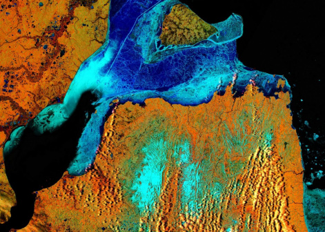
Satellite data are actively used in science. In particular, satellite information helps researchers from the Federal Research Center "Krasnoyarsk Science Center of SB RAS" to predict fires in the forests of the region and to monitor the state of farmlands. In a new release of the program "What and How" on the Yenisei TV channel the specialists of the Federal Research Center "KSC SB RAS" told how remote sensing of the earth works, described the peculiarities of "photographs" of the Earth from a satellite and how scientists use them for environmental monitoring of forest fires, sustainable nature management and other interesting details
Share:
